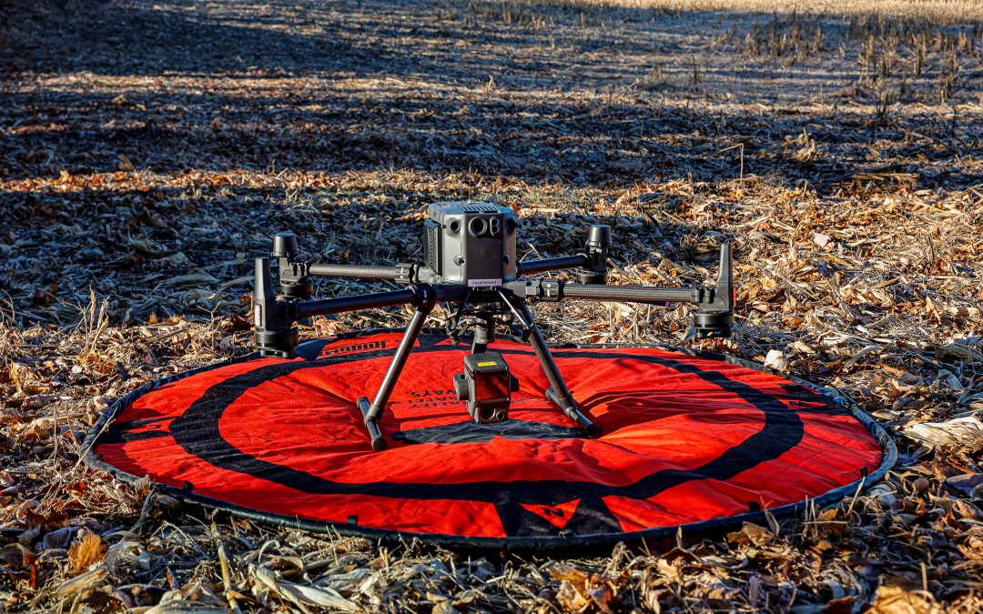
As technology advances and drone surveys become more efficient, large projects like ROW clearing and pipeline management become easier to manage. Using drones for ROW assessments is one of the best ways to determine the scope of work for bids, as well as other overhead visualizations of ROW for a variety of needs — ranging from vegetation management to encroachment. With 2D and 3D land replication, drone surveys provide a more advanced way to evaluate ROW and plan accordingly based on the results.
What Are Drone Surveys For ROW?
Drone surveys use unmanned flying drones to comprehensively map and analyze large pieces of land. These advanced aerial surveys provide a host of benefits that enhance the efficiency, safety, and accuracy of Right-of-Way (ROW) management. By integrating drone technology with geographic information systems (GIS), providers like Lanracorp have significantly improved the ability to plan, execute, and maintain ROW clearings and infrastructure projects. GIS makes it easier to visualize the data into easy-to-understand maps of the land. It allows our team to build a very comprehensive ROW Clearing plan based upon actual aerial data. We perform ROW Clearing to not only protect the pipe from tree roots but to also allow for aerial inspections. The drone surveys are efficient and the best tool for that job.
How Drone Surveys Are Transforming ROW Assessments, Clearings, and More
Improved Safety and Efficiency
Traditional ROW assessments require ground teams to navigate challenging terrain, a practice that can be time-consuming, costly, and hazardous. While it’s still good practice to integrate ground teams during ROW assessments, drone surveys reduce the need and many of the challenges associated with on-the-ground evaluations. For pipelines and power lines, which often stretch across vast and even remote areas, drones can cover large distances in a fraction of the time it would take a ground crew.
Drones can also access hard-to-reach or dangerous areas, such as steep slopes, dense forests, or waterways, without putting personnel at risk. This capability is particularly valuable for inspecting pipelines and power lines in rugged or dangerous environments, where ground-based surveys are less practical or unsafe.
Accurate Vegetation Management
Drone surveys are frequently implemented in ROW clearing and more general vegetation management. Right-of-Way clearing involves clearing an area to allow easy access to important structures, such as pipeline valves or power line infrastructure. Overgrown vegetation can pose serious risks to pipelines and power lines, potentially damaging these structures or obstructing access for maintenance and emergency repairs or aerial patrols. Drones equipped with LiDAR (Light Detection and Ranging) sensors can create highly accurate maps of vegetation growth and allow for more precise planning of clearing operations.
For instance, LiDAR data can be used to identify areas where tree canopies are encroaching on power lines or where roots may threaten pipeline integrity. This detailed information helps in creating targeted plans that address specific issues, reducing the likelihood of outages or accidents caused by overgrown vegetation.
Comprehensive Inspections and Monitoring
Drones can be equipped with high-resolution cameras, thermal imaging, and other sensors to detect anomalies such as pipeline leaks, corrosion, or structural damage. Drone surveys can also help experts examine the condition of pipeline markers, detect erosion near pipelines, or check for encroachments remotely. This continuous monitoring helps ensure that any issues are identified and addressed before they escalate, contributing to the long-term reliability and safety of the infrastructure.
Introducing Drone Surveys from Lanracorp
At Lanracorp, we utilize a combination of ground crews and drone surveys to ensure that we conduct the most accurate and useful ROW assessments possible. We specialize in Right-of-Way contracting, pipeline assessments and repairs, vegetation management, as well as soil and land surveys. Equipped with state-of-the-art drones, we are ready to provide comprehensive and actionable plans for your next project.
Request a quote for your next project requiring drone surveys from Lanracorp Inc. today!

